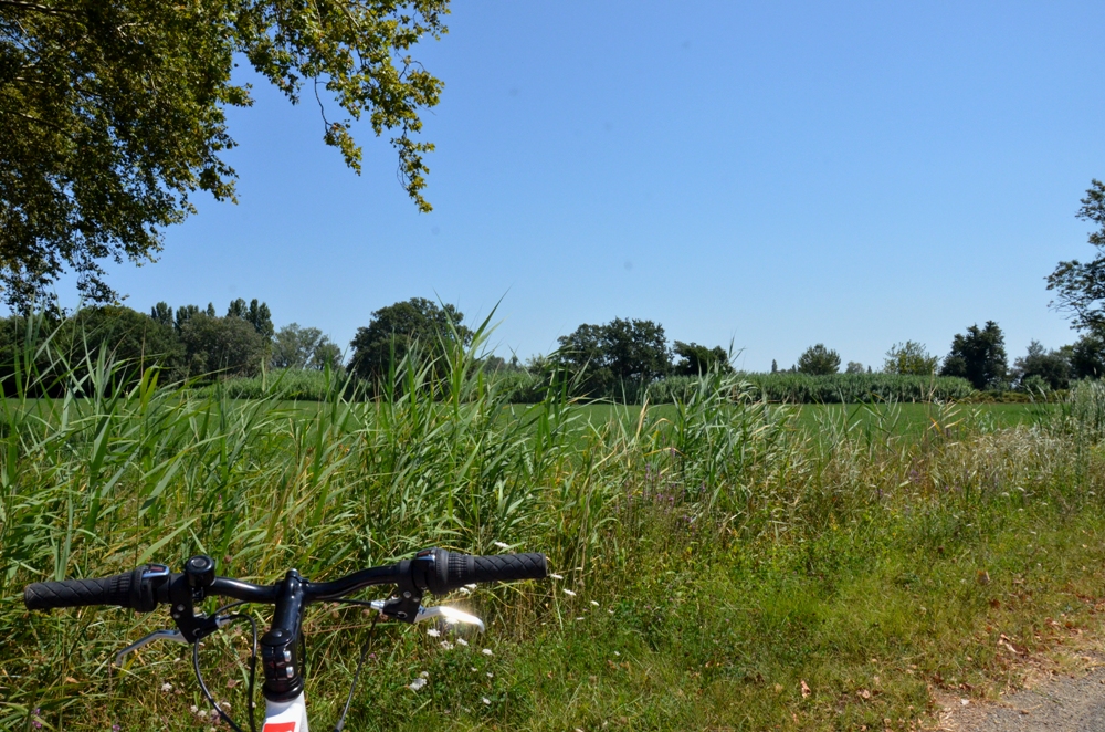
Cycling from Crau to the Vigueirat marshes.
10 points of interest
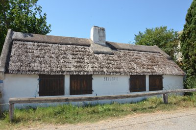
Sellerie Jean Mison - ©Juliette Primpier - PNR Camargue  Savoir-faire
The saddlery
Mr. Mison, master saddler and best worker of France with the presentation of a saddle gardiane in 1961, worked in guardian cabin known as "upholstery Jean Mison", located along the D35. There were cabaniers and a saddlery workshop in Mas-Thibert. Ferrand Meffre, his cousin and best worker in France, has returned to his workshop.. The saddlery has gained an international reputation, they did Gardianes saddles for Ronald Reagan but also for Johnny Hallyday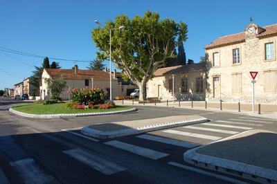
Village de Mas-Thibert - ©Muriel Cervilla - PNR Camargue  Patrimony and history
The Mas-Thibert village
Mas-Thibert joined the Camargue Regional Nature Park in 2011. In the 1960s, a community of Harkis settled in the village, now constituting one of the largest harkis communities in France. The village is the only cycling stop of the ViaRhôna between Arles and Port-Saint-Louis. The presence of Vigueirat’s ‘Marshes, protected natural site that belongs to the Conservatoire du Littoral, near the village allows visitors to discover the local natural heritage.
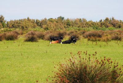
Taureaux de combat - ©Chloé Scannapiéco - PNR Camargue  Elevage et pastoralisme
The fighting bulls
Two breeds of bulls exist in Camargue. For the most part we find the bull from Camargue (Raço di bioù) used for the traditional Camargue race. The second breed is of Spanish origin or fighting breed and was introduced in 1869. It provides bullfighting animals. Mas-Thibert has a large concentration of breeding bulls fighting, we find the ganaderias of Roland Durand, d’Alain and Frédérique Tardieu, of the Tardieu4s brothers and Gallon4s brothers.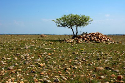
Figuier - ©CEN PACA  Flora
FloraLa Crau
Former delta of the Durance, the Crau is the last steppe of Western Europe. Fragile natural space, it is partly devoted to vegetable and fruit crops and sheep farming. The Crau flora is diversified : scrubland (rosemary, thyme, lavender), wetlands and cushionoul, a stony steppe with arid character. These Crau cushions benefit from a strong protection status: a Nature Reserve of more than 7400 ha.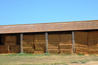
Foin de la Crau - ©Juliette Primpier - PNR Camargue  Produits du terroir
The Crau's hay
First choice, the Crau’s hay is the first non-human food, which obtained a Denomination of Controlled Origin (AOC), in 1997. This notoriety, and this quality, stemming from ancestral know-how allow the Crau’s hay to be sold in many French regions and abroad. The hay is watered by the Durance which is loaded with silt and mineral matter, so the soil is rich. Of the 52,000 ha of Crau, 12,000 ha are grassland through irrigation.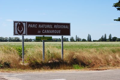
Entrée dans le Parc naturel régional de Camargue - ©Chloé Scannapiéco - PNR Camargue  Flora
FloraThe Camargue Regional Nature Park
You are entering the Camargue Regional Nature Park! Located in the migration pattern of North European birds who pass through the Rhone valley towards Africa, this area offers to countless species a territory where they can move freely in huge protected areas. Horses, bulls, flamingos, waders ... It is also one of the few parks with a significant coastline sharing borders with a Natural Marine Park.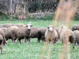
Moutons Mérinos d'Arles - ©DR  Elevage et pastoralisme
La Crau, land of sheep
The Crau is a grazed land, there are about 100,000 sheep that roam the lowland between mid-October and April, most are Arles Merinos. This local sheep breed comes from a cross between the rustic Crau breed and merino. Arles Merino is bred for lambs and its wool is elastic, light and warm. The landscape is composed of many sheepfolds, some of which date from the Gallo-Roman era. Livestock farming has been important for millennia.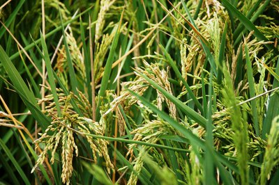
Rizière - ©Marjorie Mercier - PNR Camargue  Produits du terroir
Rice fields
Rice farming has been present in the Camargue since the post-war period. Complex, this culture follows several stages: lifting, tillering, bolting, return and flowering. The land is flooded to promote the germination of rice grains and prevent the proliferation of fungi. Rice farming therefore requires freshwater irrigation and extensive drainage to develop the saltiest land. Huge amounts of water between the two arms of the Rhône (400 million m3 per year) are needed.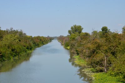
Canal du Vigueirat - ©Juliette Primpier - PNR Camargue  Water and rivers
The Vigueirat canal
This canal was built between 1642 and 1647 in order to clean up the "Vigueirie" (an agricultural plain between the Montagnette and the Alpilles) by draining the waste water to the sea. The Vigueirat Canal, which begins in the town of Tarascon, is 46 km long. It is partly classified in the Marais du Vigueirat. National Nature Reserve. Its outlet is located in the Canal from Arles to Bouc. It is automated since 1996 and managed by the large maritime harbour of Marseille.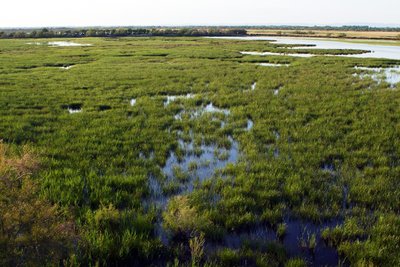
Marais de Vigueirat - ©PNR Camargue  Water and rivers
The Vigueirat marshes
The Vigueirat marshes is one of the largest territories (958 ha) acquired by the Conservatoire du littoral in the Provence-Alpes-Côte d'Azur region. This area is a mosaic of wetlands characteristic of the Camargue and offers a great diversity in terms of flora (more than 400 plant species) and fauna (more than 270 bird species). The marshes are composed of natural environments typical of the ecosystems of the Rhône delta: sansouires, ponds, sculpies and reed beds
Description
1 - At the junction, turn to the left and take the path of the Canons (C64). Continue for about 4 km, past Tapie Saint-Léger and Le Mas de l'Hoste.
2 - At the intersection with the path of the Pont Calada (C65), head to the left. Continue for 2.5 km.
3 - At the Vigueirat Canal, take the dirt road C67 Volpeliere, take to the left. Walk along the canal for 3.5 km.
4 - At the junction with the C66, turn right to join Mas-Thibert on the same route as to go back to the Mas-Thibert stadium.
5 - From the Mas-Thibert stadium, continue on Avenue Alain Guigue, follow the signs "Marais du Vigueirat" by the bike path then the dirt road. Continue on the Etourneau path (C71). Take the opposite way to return to Mas-Thibert stadium.
- Departure : Stadium, Mas-Thibert
- Arrival : Mas-Thibert
- Towns crossed : Arles
Forecast
Altimetric profile
Recommandations
Respect the rules of the road on roads open to public traffic.
Information desks
the Camargue museum
Mas du pont de rousty, 13200 Arles
Remember to visit the Camargue museum! It is located next to the administrative centre of the Camargue Nature Park.
OT Arles
9 Boulevard des Lices, 13200 Arles
Access and parking
Parking :
Access
- Emergency number :
- 114
Report a problem or an error
If you have found an error on this page or if you have noticed any problems during your hike, please report them to us here:

