Mont-Vial
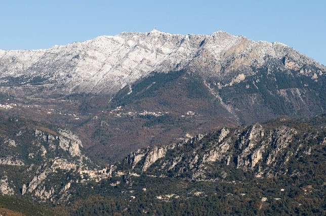
Revest-les-Roches
Mont-Vial
Difficult
4h
9,5km
+715m
-715m
Aller-retour
PR
Embed this item to access it offline
Perched at over 1,550 m above sea level, it is one of the highest peaks in the Préalpes d'Azur Regional Natural Park. Offering a magnificent 360 ° view, Mont-Vial allows you to rub shoulders with the high mountains of the Mercantour National Park, while having an eye on the Mediterranean. Moreover, it belongs to these rare identifiable summits since the Cote d'Azur.
6 points of interest
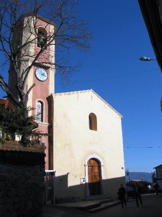
Eglise de Saint-Laurent - DR  Patrimony and history
Saint-Laurent church
Beautifully restored, the building contains paintings dating from 1647, painted for the artist vençois Jacques Vianey. The church also contains a stoup dating from the XII century and XIII th century whose carved stone represents a face.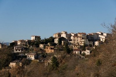
Le village de Revest-les-Roches - G. Germain  Patrimony and history
Revest-Les-Roches
Built at an altitude of 834 m at the foot of Mont-Vial, Revest-Les-Roches appears as a real sentry opening on a vast panorama from the Alps Chains to the Mediterranean coast. Made up of small, tight houses, this small city marries a rugged ground where the rock is omnipresent.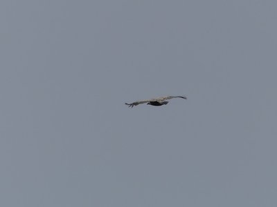
Vautour fauve planant autour du Mont-Vial - Guillaume Fontaine - PNR des Préalpes d'Azur  Fauna
FaunaGriffon vulture
From its Latin name Gyps fulvus, the Griffon Vulture is very present near Mont-Vial and its steep cliffs. You can admire this raptor with a wingspan of up to 2.65 m He uses updrafts to hover for hundreds of miles in search of food.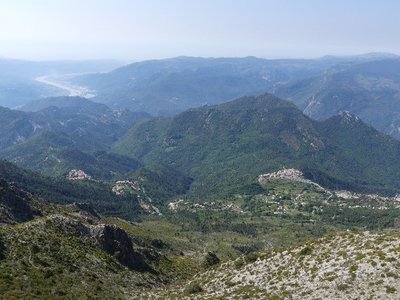
Point de vue du Mont-Vial sur les villages de Revest-les-Roches et Tourette-du-Château - Guillaume Fontaine - PNR des Préalpes d'Azur  Patrimony and history
Tourette & Revest
For 7 centuries, the two villages formed a single commune called "Tourette-Revest", sharing the vicissitudes of occupation and successive wars. Passing from the Eastern House to the House of Savoy; then from the Kingdom of Sardinia to definitive attachment to France in 1860; The Community will break up in 1871 to become two distinct villages: Tourette-du-Château and Revest les Roches.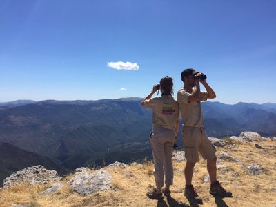
Observation des ambassadeurs du Parc naturel régional des Préalpes d'Azur - Julien Lageat - PNR des Préalpes d'Azur  Panorama
An incredible 360 °
The 360 ° viewpoint offers one of the most majestic panoramas of the Préalpes d'Azur Regional Natural Park. To the south is the blue line of the Mediterranean, and sometimes the mirage of Corsica appears on the horizon. Make a U-turn on yourself and the entire chain of Mercantour opens to you!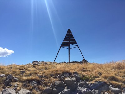
Point géodésique - Julien Lageat - PNR des Préalpes d'Azur  Peak
PeakThe summit, a geodesic point
In addition to offering a breathtaking panorama, Mount Vial also has a geodesic point. It is a point whose position on the Earth has been determined precisely by using triangulation. This method consists in measuring the angles between this point and other reference points whose position is known.
Description
The trail starts shortly after the center of the village from Nice.
1- 1- Take a right turn on an asphalt track. Continue on a path passing behind some houses via the beacon 32. The trail rises quietly before winding up a bit. Continue climbing to an intersection 4 km from this point.
2- Turn off to the left as indicated at the beacon 8, then climb to the summit crest of Mont-Vial, which is easily reached via the beacon 285.
3- The return is made by the same itinerary.
- Departure : Revest-Les-Roches village
- Arrival : Revest-Les-Roches
- Towns crossed : Revest-les-Roches, Malaussène, and Tourette-du-Château
Forecast
Altimetric profile
Recommandations
- Balisage et entretien des chemins par le Département des Alpes Maritimes
Information desks
Prealpes of Azur Regional Nature Park
Bienvenue dans le Parc naturel régional des Préalpes d’Azur !
Découvrez la richesse unique de la géologie, de la faune et de la flore, du patrimoine, des produit locaux… du Parc en le parcourant à pied, à vélo ou à cheval grâce aux différents itinéraires de cheminsdesparcs.
Profitez d’autres activités nature proposées dans le Parc.
Recevez la newsletter du Parc.
Access and parking
35 km north of Nice, follow the RD17 to Gilette, then join Revest-les-Roches via RD227 and RD27.
Parking :
Parkings du centre du village de Revest-les-Roches
Source

Département des Alpes-Maritimes - Randoxygènehttps://randoxygene.departement06.fr/randoxygene-8938.html
Report a problem or an error
If you have found an error on this page or if you have noticed any problems during your hike, please report them to us here:

